The pocket community neighborhoods of Tuxedo
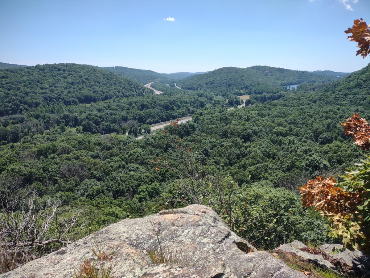
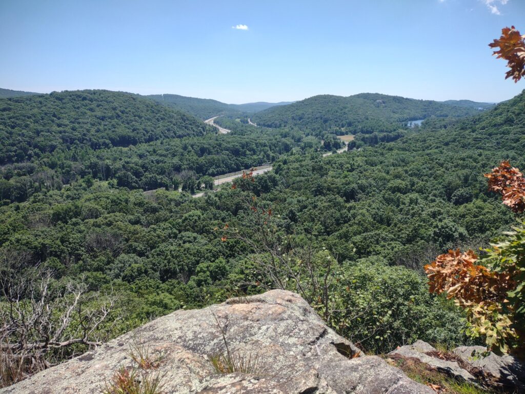
The Town of Tuxedo is located in Southern Orange County, NY. In size, it’s approximately 40 square miles of which about 75% of that landmass is forever preserved State Parks; about 55,000 acres in Harriman State Park and about 22,000 acres in Sterling Forest State Park. The geography is minor mountains of the Appalachian Mountain chain which creates tight areas of development – what I call “pocket communities” – in between the mountainous terrain. The tallest of these mountains range between about 700-1,000 ft above sea-level, which allows for homes to be tucked in for privacy in some areas and in other areas to take advantage of high-up, long distance scenic views. Following are some of the community pockets in the Town of Tuxedo, as a short guide to get to know the Town better.
Central Tuxedo, The Hamlet and Tuxedo Park
Village of Tuxedo Park – Part of the National Register of Historic Places
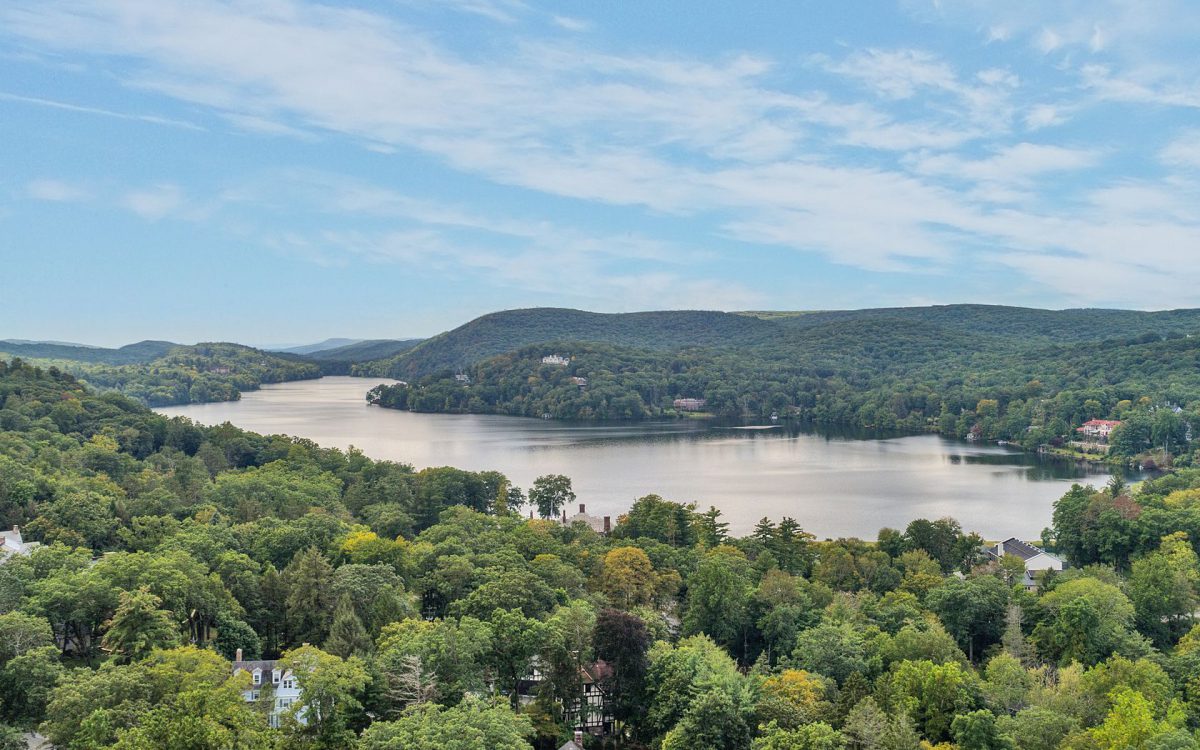
Tuxedo Park (or “The Park”) is well-known as one of the first planned, gated communities in the nation – founded by Pierre Lorillard IV in the 1880’s, this Gilded Age retreat endures as one of the most beautiful places to live in the country. Despite being only 1 hour from NYC, it feels a world away. The Park is notable for many characteristics including its famous residents through the course of time, but also for its historic architecture where the American “shingle style” was burnished by architect Bruce Price. Other renowned architecture firms practiced here in the Gilded Age and thereafter including: McKim, Mead & White, John Russel Pope, William A. Bates, Sturgiss & Barton, Walker & Gillette, Carrere & Hastings, Delano & Aldrich, Richard Howland Hunt, James Brown Lord and William Edmund Lescaze. The homes are known for their unique and classic architecture, but also for their near perfect siting in harmony with the natural, mountainous terrain. Much of the landscape architecture and layout of the roadways, and green commons of the Park were designed and engineered by Ernest Bowditch, a contemporary of Frederick Law Olmstead. At the heart of the community are three beautiful lakes surrounded by emerald mountains and rocky cliffs making Tuxedo Park a truly unique escape. It is not an HOA, it’s a New York State incorporated Village within the Town of Tuxedo, NY.
“Tuxedo Lake in Summer” Photo by Jacob Matthews © 2025
Community centers include, The Tuxedo Club (Private, paid memberships by invitation only). St. Mary’s Church, Wee Wah Beach Club, Village Boat Club, Wee Wah Fishing Club, the Race Track Nature Preserve, and miles of hiking trails. Proximity to the Hamlet and commuting access is a great benefit.
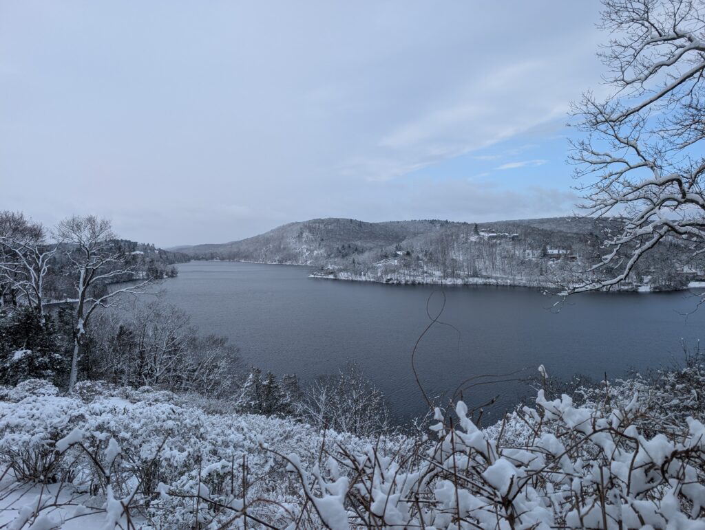
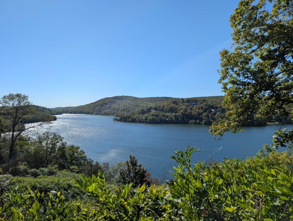
“Tuxedo Lake in Winter” Photo by Jacob Matthews © 2026
Tuxedo Union Free School District
The Hamlet of Tuxedo & East Village
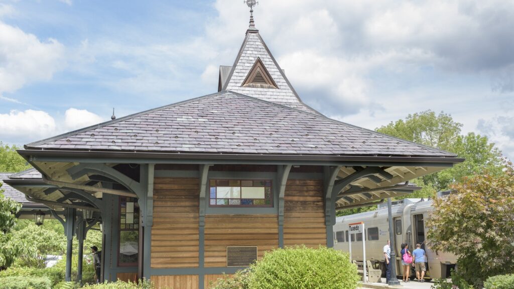
“Tuxedo Train Metro North” Photo by Andrea Swenson © 2017
The historic hamlet of the Town of Tuxedo has mixed use, commercial and residential properties. A series of historic buildings anchor the center of the Hamlet including the Tuxedo Park Library and the Tuxedo Park Post Office (both designed by Bruce Price), the Tuxedo Train Station in beautiful Queen Anne style and George F. Baker High School, with its massive clocktower as a beacon to the community. The Powerhouse public park has a bandstand, pic-nic court, playing fields, basketball court (which doubles as a winter skating rink), dog park, walking/jogging track, playground and the Ramapo river walk/trails. The adjacent East Village neighborhood is celebrated for its quaint close-knit neighborhood feel, early homes and the very active Sons of Italy Lodge which hosts Spaghetti dinners, Venison dinners and community fundraisers and gatherings. There is also a “skate park” near the Ramapo River and adjacent access to Harriman State Park’s hundreds of miles of hiking and recreation trails. The hamlet boasts easy access to commuting facilities with Rt. 17 close by and MTA Metro North service to NYC, Bergen County, Hoboken and Port Jervis. Public parking is available in the Town Train lot for residents and the MTA lot.
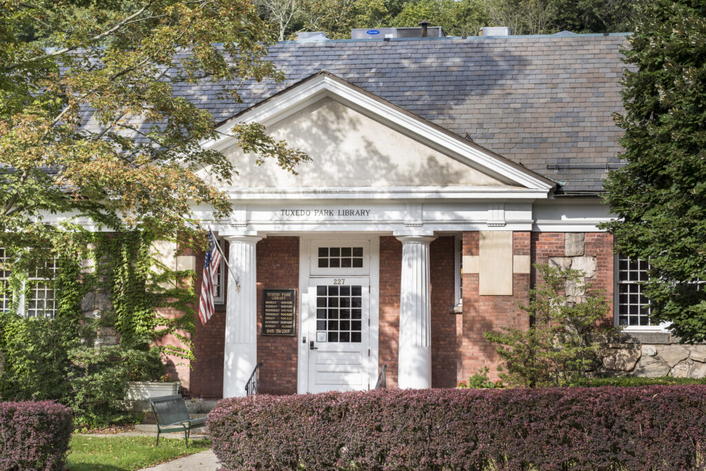
“Tuxedo Park Library” Photo by Andrea Swenson © 2017
Northern Tuxedo – Sterling Forest and Southfields
Laurel Ridge
Developed approximately from the 1950’s through the 1970’s, the community of Laurel Ridge offers many Mid-century and contemporary inspired architecture homes some designed by TechBuilt and others said to be designed by architect Charles Winter, all offered in a serene wooded setting. Many homes offer scenic views of the surrounding Sterling Forest State Park and with large fenestrations they perfectly capture the natural surroundings. It is not an HOA.
Community centers include Tichy Field, with baseball field and batting cage, basketball court, children’s playground, tennis and pickleball courts. And the Sterling Forest Firehouse is often a community gathering place.
Monroe-Woodbury School District
Clinton Woods
Just across from Laurel Ridge is a sister community Clinton Woods. Here you’ll find some mid-century and contemporary inspired architecture in a wooded setting. Many homes offer scenic views of the surrounding Sterling Forest State Park. A trailhead leading directly into Sterling Forest and hundreds of miles of hiking trails is at your doorstep.
With close proximity to Laurel Ridge, community centers include Titchy field, with baseball field and batting cage, basketball court, children’s playground, tennis and pickleball courts. The Sterling Forest firehouse is often a community gathering place and just a few miles southwest off of Long Meadow Road is The Sterling Forest Visitor’s Center and Sterling Lake, the heart of Sterling Forest’s recreation amenities.
Monroe-Woodbury School District
Bramertown & Benjamin Meadow
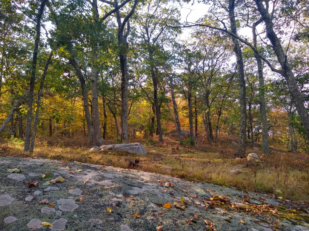
“Sterling Forest State Park” Photo by Jacob Matthews © 2025
Nestled near Sterling Forest, this area of town is a mix of antique homes and more recent builds including a couple of minor subdivisions with luxury homes. It has close proximity to Monroe & Greenwood Lake for conveniences. The Doris Duke Trailhead is nearby, with parking, for wonderful hikes in Sterling Forest State Park. The NY Renaissance Faire is a local attraction that draws day-trip visitors from far and wide.
Monroe-Woodbury School District
Southfields
Once famous for the Red Apple Rest and before that for iron works furnaces dating back to the American Revolution, this area of town offers a mix of single-family residential homes and commercial spaces and a condos community called Tuxedo Heights. Southfields also has the Tuxedo Motel, a gas station with conveniences and close proximity to Rt. 17 for highway commuting and the Harriman Metro-North Station.
Monroe-Woodbury School District
The South End of Town
Surrounded by Sterling Forest State Park, this area of town is celebrated for its quiet, private and rustic feel, yet great proximity to major amenities. The Tuxedo Club golf course is in between Maple Brook and Eagle Valley, adding a bucolic and scenic feel to the area.
Maple Brook & Eagle Valley
The Eagle Valley Mini-Park offers a basketball court, picnic tables and a large playground for young children. Alexander Pond offers fishing and winter ice skating when conditions are safe. St. Elizabeth’s Chapel with historic roots in community back to the Hamilton and Morgan families is an inspiring small stone chapel that is often the heart of community gatherings for worship, celebration and fundraising. The Eagle Valley Firehouse is another cherished community gathering center when the dedicated volunteer firefighting force is not rushing to emergencies.
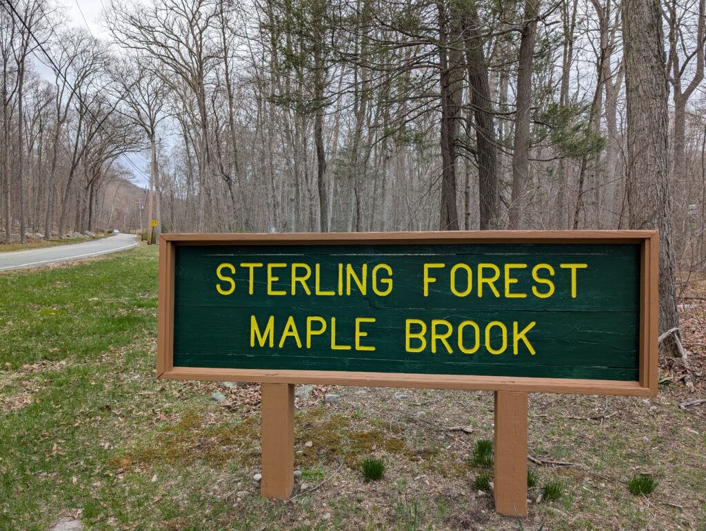
“Maple Brook” Photo by Jacob Matthews © 2025
Hamilton Estates/ Table Rock / Juniper
Newer construction estate style homes dot the hillsides of the historic Hamilton Estate area, many of the homes are of luxury caliber and size, set back from the road and offer privacy and elegance, some with scenic mountain views, golf course views or views over Alexander Pond.
The Woodlands
With phase one of this Planned Integrated Community built in the 1980s and 2nd and 3rd phases constructed in the 1990s, this is a well-established HOA community with clubhouse, tennis & pickleball and swimming pool. Adjacent to the community is the beautiful town park, Murphy Field where “Tuxedo Day” is often held as a large community gathering. The Park offers a playground and playing fields for soccer and baseball. The Sterling Forest Firehouse and accordant organizations and St. Elizabeth’s Chapel in Eagle Valley are anchors to this wonderful south end of town. Prime location affords residents easy access to Bergen County and the wonderful historic area of Ringwood, NJ is right at the back door. The Woodlands at Tuxedo is an HOA.
Tuxedo Union Free School District
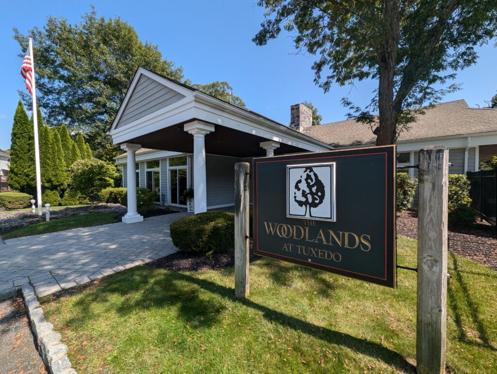
“Woodlands Clubhouse” Photo by Jacob Matthews © 2024
Central & South End of Town
Tuxedo Reserve
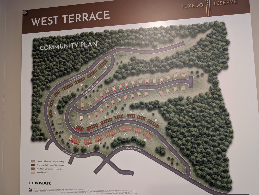
“Tuxedo Reserve” Photo by Jacob Matthews © 2025
Tuxedo Reserve is tucked in the hillsides just south of the hamlet of Tuxedo and adjacent to the South East part of Tuxedo Park. Newly developed as of 2026, Tuxedo Reserve by Lennar Homes and Related Companies is to be approximately 1,000 homes in about 9 different development phases of varying formats, with a mixed-use commercial area and community center at its heart. Residences will range from rental apartments above commercial and retail space in the downtown center to townhomes, cottage style homes, estate homes and a 55+ community, each to be built out in phases over about 10 years. This is an HOA.
Tuxedo Union Free School District
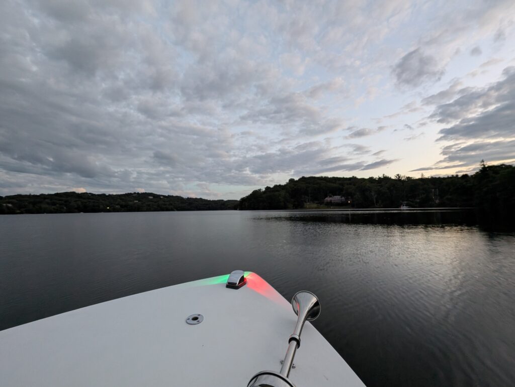
“Boating on Tuxedo Lake in Tuxedo Park” Photo by Jacob Matthews © 2025